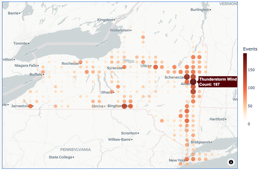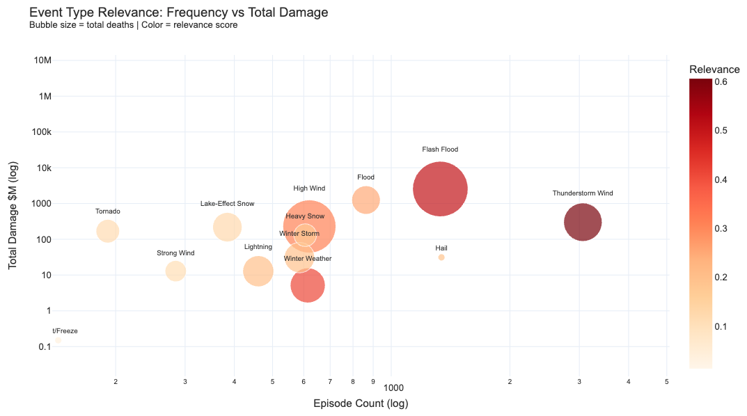
New Yorkers are increasingly threatened by extreme weather hazards that endanger lives, devastate property, and disrupt critical infrastructure. While a single event can be severe, impacts amplify when multiple hazards interact—creating compound events. These impacts are further exacerbated when stressors beyond climate hazards, such as demographics and geography, become intertwined. Characterizing how hazards and impacts interconnect across time, space, and human and natural systems will provide a more comprehensive risk assessment to enable trusted, climate-informed decisions that protect and benefit all New Yorkers. Our goal is to perform a climate-informed impact assessment of compound events in New York State (NYS) by developing a set of tools in the form of open-access notebooks that analyze past compound extreme events in NYS, quantify their compounding effect, and provide compound event insights across disparate datasets, including future climate projections.
This project is funded by the New York State Energy Research and Development Authority.